Coupled Temperature and Biodiversity Observation Network
-
Geographical span
Atlantic margins and oceanic islands
-
Implementation
Since 2022. The map shows the sites already done (orange), and those that will be done next (dark blue)
-
Funding
Luso-American Development Foundation
Fundação Para a Ciência e a Tecnologia
National Geographic
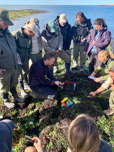
Here we will collect high resolution data on coastal temperatures and the abundance of conspicuous key coastal macro-species for at least one decade. We will employ standardised, simplified and technology-aided biodiversity surveying procedures together with state-of-the-art autonomous temperature loggers (EnvLoggers). Field sites (~360) encompass virtually all coastal climates present in the Atlantic, from Svalbard to the Antarctic, along the E and W coasts, and will include most oceanic islands. At each location at least 10 autonomous temperature loggers will be deployed.
This work will be supported by the collective efforts of a large network of researchers external actively engaged in fieldwork throughout the Atlantic. We will explore how temperature shapes species’ distributions, and investigate how thermal refugia contribute to the presence of biodiversity hotspots across a variety of spatial scales and in the context of a changing climate.
This project was covered in a story published in Science Magazine.


